At our camp site at Cedar Lake, we have no cell phone or internet connection. That will affect how long we are content to stay in one location. Fellow campers told us about hiking trails in the area, and the Horse Thief Springs Trail was at the top of their list. We usually check on trail reviews for length and difficulty of hikes, but that wasn't a possibility this morning with no internet. So we started out on a long loop hike through the woods with no information.

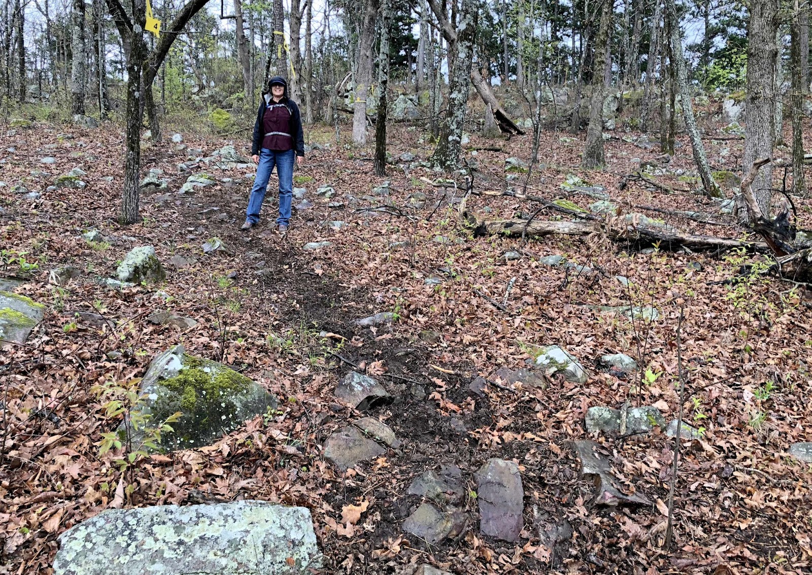
Because we didn't know better, we took a turn onto "the scenic route." We found some good scenery and big boulders. We didn't know it at the time, but we also added some mileage to our hike with that turn.

Mark loves to scramble on those big rocks, and he could see for miles in all directions.

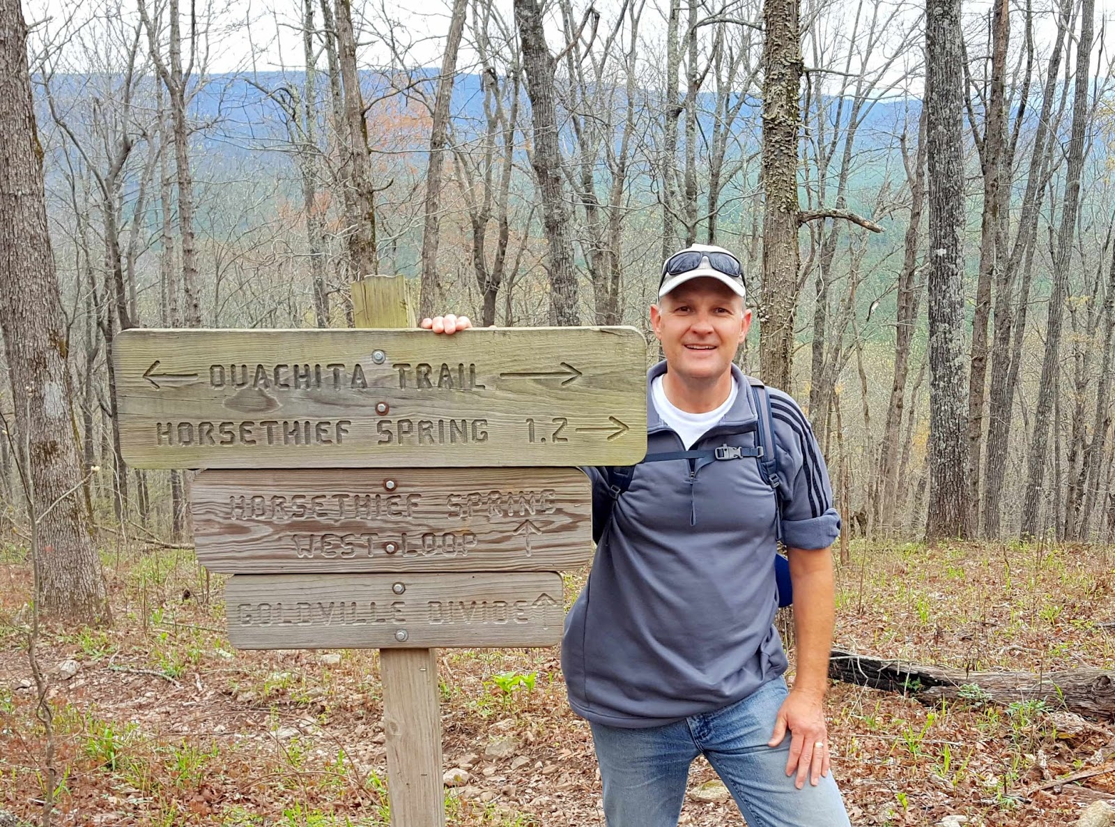
The yellow sign in the picture below lets us know that from here we can see the view of the Talimena Drive. The highway on the ridge in front of us is famous for glorious views of fall foliage. Many leaf peepers will take the Talimena Drive, named because it connects Talihina, Oklahoma to Mena, Arkansas through the Ouachita National Forest.

If we had internet access, we would have known about the high chances of rain today. As it started to rain, our trail got more and more muddy. We found out that this section of the Winding Staircase National Recreation Area is threaded with equestrian trails. We didn't see any horses today, but we certainly saw evidence of them with the deep hoof prints holding the rain.
The pictures of wildflowers along our trail were kissed with rain drops. So were the two unprepared hikers.

This forest environment is wet enough to support the thirsty ferns that are just now unfurling their spring fronds.

After many miles, our loop intersected with the Ouachita Trail. This 223-mile hiking trail runs through the mountains of Oklahoma and ends close to Little Rock, Arkansas. We didn't see any hikers on it today, but it is a popular hike--especially in the fall.
Our view from the ridge looked more like the Blue Ridge Mountains of Virginia, rather than anything we are used to seeing in Oklahoma.

It was 3:00 by the time we got to Horse Thief Springs, which the hike is named after. The CCC did some stonework in the 1930's that helped us find the spring on the ridge. For those not wanting to make this long hike, we found out that cars can simply pull off from their drive along the Talimena Parkway at the parking lot.

However, we had some sense of satisfaction from hiking to the top. Denisa is a sucker for adding a rock to a big cairn started by other hikers on the ridge.

The good news is the hike is mostly downhill from this point. The bad news is it is very rocky. The bottoms of our feet are getting mighty tired of all these rocks.

Because we are looking down to keep from tripping over big rocks and tree roots, we might have missed some good wildlife close to the trail. Looking down, all we saw was this interesting millipede making his way across the fall leaves on the trail.

By now, we have hiked around ten miles, and we haven't encountered any other hikers. We tried not to venture off the trail because we didn't want to add any more mileage on our tired legs. But we did chase after this cute yellow bird to get his picture on the forest floor.

We also ventured off the trail to take a picture of this tree covered with fungi. We've seen them in all different colors, and we call them "forest potato chips."

We are now thirteen miles into this hike, realizing that we are really out of shape for hiking this distance with elevation changes. So Denisa wasn't thrilled when she saw a creek crossing in our future. Mark danced his way across the creek, barely touching the tips of the rocks sticking above the water. Denisa opted for the slow and careful crossing, aided by a stick for stability.
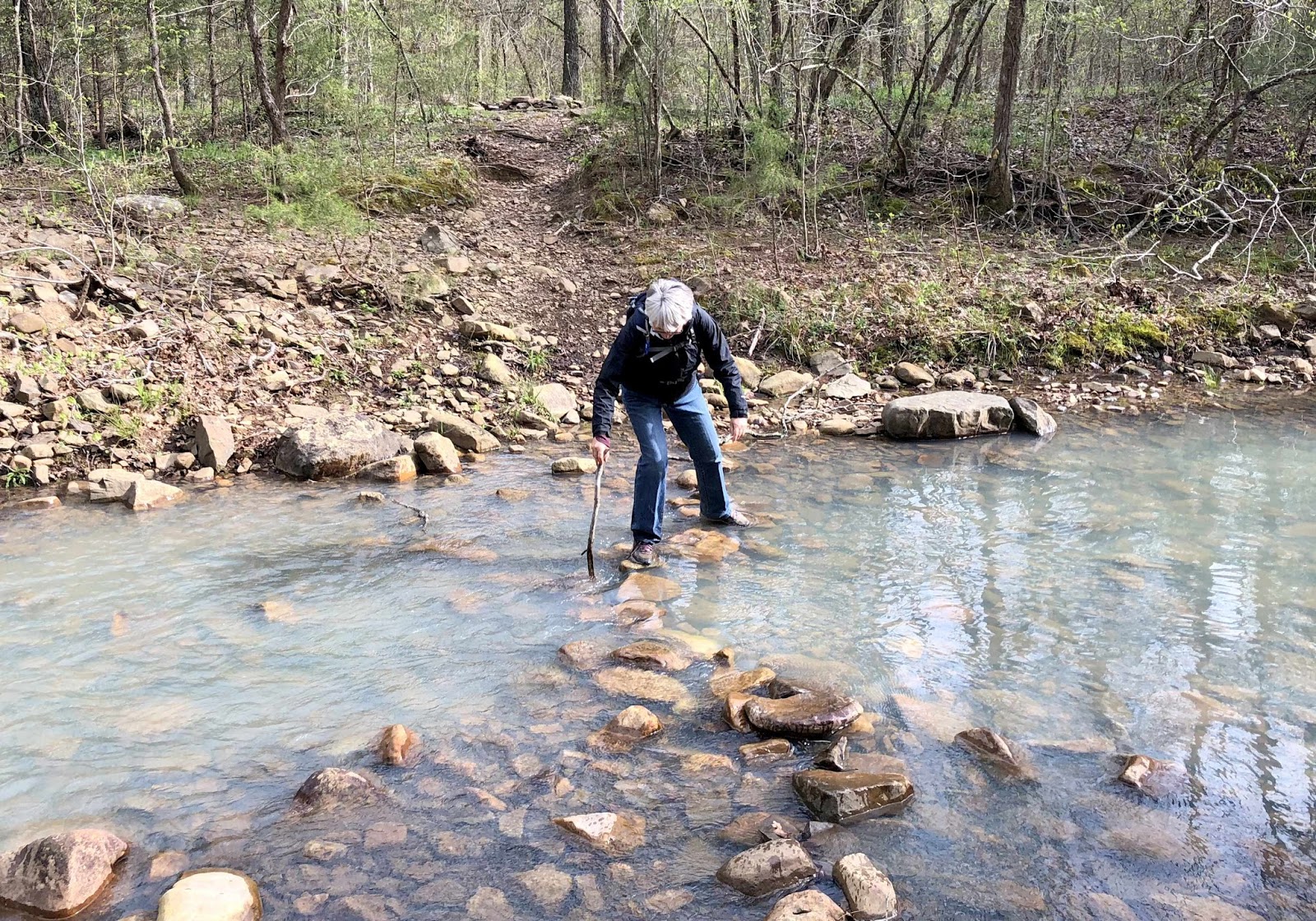
But when that stick snapped in two, she ended up with both feet in the cold water. She hadn't planned on hiking the last mile or so with wet shoes and socks. Of course, she hadn't planned on hiking this far when we started out this morning.

Denisa's Garmin exaggerates some times, but it logged over 15 miles by the time we made it back to the campground. We had a hard time climbing up the steps into the motor home, and we were more tired than we've been in a while. The hike was longer than we had anticipated, and we're looking forward to a day of rest tomorrow as we let our legs recuperate from the Horse Thief Springs Trail.

hello!! Very interesting discussion glad that I came across such informative post. Keep up the good work friend. Glad to be part of your net community. hiking trails near me
ReplyDelete