From our Forest Service campground at the Matterhorn, we are about 13 miles from the mountain village of Telluride. We found that there are two ways to get to town. One way is to drive the car until you arrive right on Main Street with the flower boxes and mountain views that welcomed us to town.
Having a car means that you can drive right by the herd of elk that some times hang out in the pastures close to Telluride.

That herd included some long-legged babies that still had their spots,

and this bull that refused to look up from his grazing.

Because restaurant seating has expanded onto Main Street, finding a parking place in Telluride is most difficult. But it was handy to have the car to drive to the end of town for this view of the mountains. We could also see a whisp of a waterfall far in the distance, and we parked the car to hike that direction.

It's only 1.2 miles to Bridal Veil Falls, but with 850 feet of elevation gain, it feels like more. It's straight up on a rocky trail that weaves its way through boulders.

On the way, we stopped in for a look at this secondary waterfall, that normally would have been the highlight of a hike. Mark managed to cross the river to get beside the fall while Denisa stayed safe and dry on the trail to take the picture.

Then we continued up that steep trail to the real star of the show--Bridal Veil Falls. At 365 feet, this is the tallest free-falling waterfall in Colorado. To get an idea of the size, you can see Mark in front of the boulder in the left hand corner of the picture below.

Mark headed down through the boulders to get a closer look at the fall, while Denisa stayed safe and dry on the trail to take pictures. It seems that is a common theme for us.

We'll zoom in to see that he got close enough to get a shower from the falling water.

Then we can zoom out for the big picture with him standing in front of that big beautiful waterfall.

From there he could get a close-up view of Bridal Veil Falls,

and the pool at the bottom that is big enough for swimming.

He even managed to help Denisa over some of the boulders for a group picture with Bridal Veil Falls.

As we look down on the parking lot, we see that for those with a sturdy vehicle, the same view of the falls can be achieved by driving up a bumpy road. To hikers like us, that almost seems like cheating.

Since we're hiking, now it is time to head back down on that steep trail towards the car.

After our hike, we drove the car back through the crowded streets of Telluride to our great camping site at Matterhorn campground. But a couple days later we visited Telluride again, using a different mode of transportation. After driving 9 miles to the little ski town of Mountain Village, we parked in the free garage and then hopped on our first gondola.

This gondola ride whisks us up and over the up-scale housing of Mountain Village.

The gondolas are sprayed down between riders, and the rides here are free!

The first stop is downtown Mountain Village. This is a planned community that was envisioned in 1996, and has blossomed into a beautiful town on the mountain. We spent some time in the plaza, social distancing in our rocking chairs while we listened to live music.

Our second gondola ride started near that plaza, and dropped us off at San Sophia gondola station. This is the highest point on the gondola route, so it makes a great place to start a hike.

The mountain views from here are spectacular! But we are sad to see that the forest fire smoke from northwest Colorado has found its way to our mountains to give them a smoky haze.
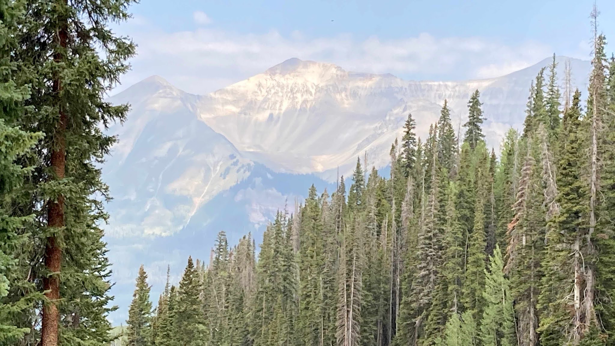
We hiked up the "See Forever" trail, to get a smoky view of things we wanted to see forever. Mark is actually standing on the grassy ledge where paragliders jump into the sky. We didn't see any flying today, but that would be a thrill to jump straight into that scenery.

Bicycle racks on the gondolas allow cyclists to bring their own transportation for a downhill ride off the mountain.

There is also a 7-mile downhill hiking trail that could take us from San Sophia station into Telluride. But this is our day off, so we're opting for our third gondola ride today instead.

Instead of hiking today, we sat back and watched the aspens glide by . . .

until the town of Telluride appeared in the valley below.

As luck would have it, we arrived just in time to browse through a very expensive farmer's market. We have learned this summer that markets in tourist towns will yield no bargains.

But we enjoy the flowers and the ambiance of these little towns, as we walked a couple blocks to Main Street for lunch. We were glad that we didn't have the car this trip, so we didn't have to worry about finding a parking place for lunch--or for the stop at the bakery later.

A line had formed in Telluride for our return gondola ride back up the mountain to Mountain Village and our waiting car. But we are so thankful to get to experience this second mode of transportation for free!

Denisa's blouse almost matched the flower baskets back at the parking garage in Mountain Village. She is clutching her Telluride bakery goods--a cream cheese swirl brownie and a cherry/cream cheese/almond danish. She's thinking that this trip to Telluride was the tastiest. But we enjoyed both our car drive and gondola ride trips into the little village of Telluride in the mountains.


